|
Clickable Mosaic of Thumbnails of 1984 Soviet Maps Covering the Danube Delta
A red dot marking a prominent municipality has been added to each thumbnail. After clicking a thumbnail to enlarge, click BACK on your browser to return to this thumbnail page. Maps linked on this page were originally at www.lib.berkeley.edu/EART/x-ussr/M35E.html and are Copyrighted © 2003 The Regents of the University of California. |
|||
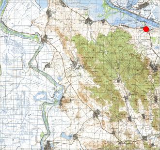
Reni is the westernmost Ukrainian town in the Danube Delta. Upstream, to the west of Reni, lies the Moldovan town of Dzhurdzhulesht, below which Moldova touches on the Danube along a 900-meter stretch. Upstream of Dzhurdzhulesht lies more Romania. To reach the rest of Ukraine by land, Reni's inhabitants must travel southward along the ribbon of land which forms the Ukrainian bank of the Danube. |
|
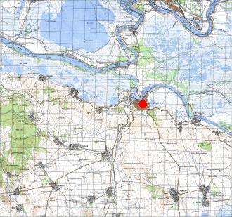
The triangle formed between the points Kilia, the bottom-left of the graph, and the base of the graph somewhat to the right of Kilia appears in contemporary satellite photographs as a patchwork of rectangular areas indicative of agricultural cultivation, but in twenty-year-old maps such as the one below, the same area appears to be still marshland--which is to say an undeveloped system of lakes and natural channels. |
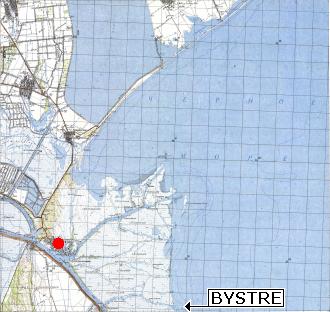
Vylkovo can be seen in the detailed map to be interlaced with canals, for which reason it has been referred to as the Venice of Ukraine. In addition to being able to reach the Black Sea from Vylkovo by taking the nearby Ochakivske channel in a north-easterly direction, one is able to take the Belhorodskyi Canal--barely discernible in the thumbnail below--heading due north from the eastern edge of Vylkovo. The Belhorodskyi is one of many waterwaus that are too narrow for commercial shipping, but that could conceivably be enlarged. "BYSTRE" has been added to the thumbnail. |
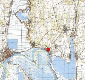
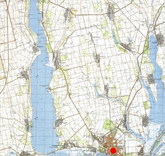
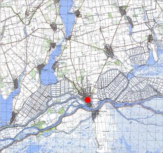
| 93 Ukrainian town of RENI | 94 Ukrainian town of IZMAIL | 95 Ukrainian town of KILIA | 96 Ukrainian town of VYLKOVO |
 |
 |
 |
 |
 |
 |
 |
|
| 105 Romanian town of ISAKCHA | 106 Romanian town of TULCEA | 108 Romanian town of SULINA | |
The river zig-zagging downward from the upper-left corner of the map is not the Danube, it is the Old Danube. The Danube proper moves downward just off the left edge of the map. |
The town of Tulcea is on the south shore of the Tulcea branch of the Danube which carries away one-third of all Danube water, and soon after splits into the Sulina running due east, and the George meandering toward the south-east. The region north of Tulcea within the bend of the Danube appears in contemporary satellite photographs as a patchwork of rectangular areas suggestive of agricultural cultivation, whereas in twenty-year-old maps such as the one above, the same area can be seen to be wild marshland. |
Map 107 covers only Romanian territory, for which reason it is omitted from online collections covering Ukraine, for which reason it is omitted here, which is unfortunate because it would have been able to provide information about Romanian activity within the Danube Delta. However, comparable maps have been found which are relied on for that information. |
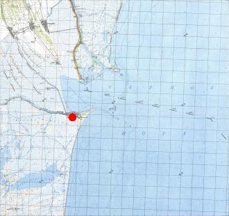
The town of Sulina lies on the southern shore of the mouth of the Sulina Canal. The Ukrainian-Romanian boundary down the middle of the Starostambulske, veers off into a western branch, the Musura, before reaching the Black Sea; once in the Black Sea, the boundary heads somewhat downward in a straight line for a distance, then veers downward at a still sharper angle, which has implications for the ownership of Snake Island, some xxx km off the coast. The approach to Sulina appears to be narrow and marked with buoys, as the water is shallow, the successive lines paralleling the shore marking depths of 2, 5, 10, and 20 meters. Numbers not embedded in a depth line indicate a depth measurement at that position; decimal points (commas) in depths measuring fractions of meters are pretty much invisible in these maps, but can be inferred both from the position's location between depth lines and by a slight separation between digits where the comma has been placed. |
HOME DISINFORMATION PEOPLE KUCHMA PUTIN YUSHCHENKO DANUBE MAPS